SGIS reference: sgis-000636
Abstract
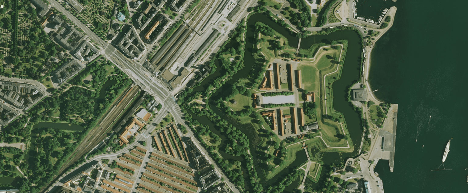
Historiske sommerortofoto giver mulighed for landsdækkende at se objekter i landskabet via lodbilleder, der er fotograferet i perioden 10. maj til 31. juli.
Purpose
Purpose not provided.
Access and Constraints
Marked with otherRestrictions. Access may still be public but requires policy review.
Attribution
Put this on your map
Indeholder data fra Klimadatastyrelsen, Sommerbilleder Ortofoto (frie), WMS-tjeneste
Licence: CC BY 4.0 · Terms of use · The wording follows the publisher’s terms of use. The line names the WMS-tjeneste you use; for a downloaded file write hentet ‹date› (the date you downloaded it) instead. In QGIS, right-click it in the SemanticGIS panel and choose Copy attribution.
Access Endpoints
LINK
OTHER
- Se dataproduktet på dataforsyningen.dk - Se dataproduktet på dataforsyningen.dk, hvor du kan se og læse mere.
- SOMMERORTOFOTOS (FRIE) - Historiske sommerortofotos: 1999, 2002, 2005, 2008.
- Endpoint
WMS
- Endpoint - ORTO SOMMER 1999 - Kortforsyningen OGC:WMS - orto_sommer_1999
- Endpoint - ORTO SOMMER 2002 - Kortforsyningen OGC:WMS - orto_sommer_2002
- Endpoint - ORTO SOMMER 2005 - Kortforsyningen OGC:WMS - orto_sommer_2005
- Endpoint - ORTO SOMMER 2008 - Kortforsyningen OGC:WMS - orto_sommer_2008
Related Leaves
No leaf links matched automatically from current realisations.
Classical Theme Tags
No ISO/INSPIRE tags matched from subjects.